The Clinton River Water Trail has new interactive maps that let paddlers pull up emergency markers, portages and obstructions on their phones to help plan a trip.
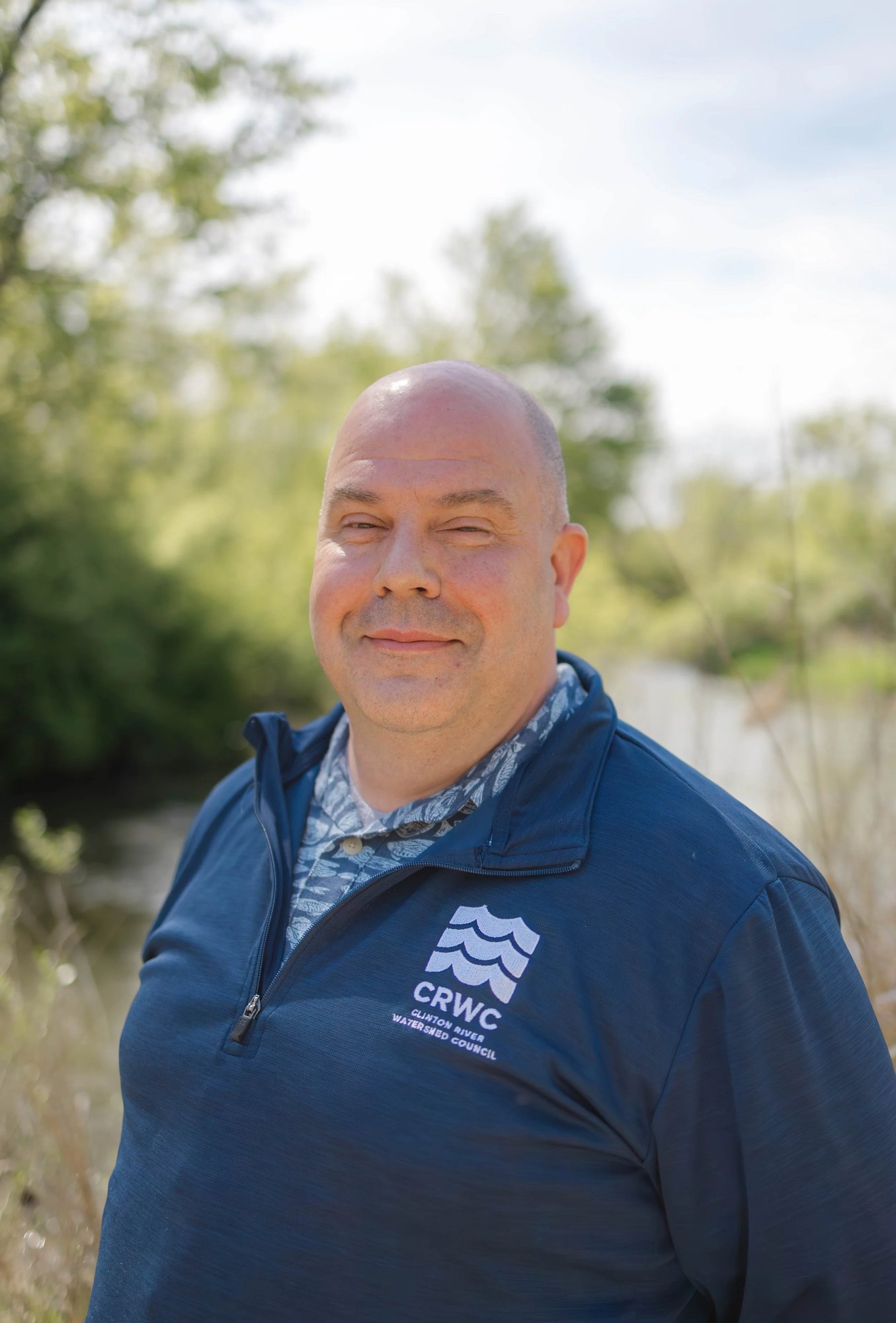
The Clinton River Watershed Council announced Oct. 28 that new Water Trail Coordinator Jimmy Grunfelder built the Google Maps-based tool as one of his first projects in the role.
CRWC cautions that the maps are for planning only and may not reflect current river conditions, which can change quickly.
Paddlers who open the maps through the Google Maps app can view photos of launch points along with nearby amenities and restrooms, according to CRWC. The council says it will update the maps weekly with information including woody debris issues. Paddlers can report logjams and obstructions through the CRWC paddling webpage.
When the Clinton River runs high, it carries woody debris downstream that can block passages and create hazards, according to the council.
New coordinator brings local experience
Grunfelder holds a bachelor's degree in parks, recreation and tourism management from the University of Georgia. He has experience with the city of Rochester Hills, according to CRWC.
The council said it hired him to expand accessibility, visibility and ecological awareness around the Clinton River.
Trail background
The Clinton River Water Trail offers more than 72 miles of paddling, with conditions ranging from slow-moving water to stretches unsuitable for beginners.
CRWC released an updated Water Trail plan in March 2026, with goals that include expanding amenities and improving safety.
Since the original plan was introduced in 2014, CRWC and regional partners have installed six universal launches, prepared and distributed 16 launch signs and placed 130 safety signs along the river, according to the council. CRWC also reported 17 years of its Paddlepalooza event, with hundreds of participants annually.
The council says trail safety signs have been translated into Spanish and Arabic, which it identifies as the watershed's two most spoken languages after English.
Safety reminders for fall paddlers
CRWC advises paddlers to check the nearest U.S. Geological Survey streamflow gauge before heading out.
Its safety guidance also recommends monitoring water temperature and bringing spare clothes in a dry bag because cold water can cause hypothermia.
Paddlers should wear life jackets and footwear, travel with another person in a separate boat, and tell someone on land their route and expected check-in time.
The interactive maps, obstruction-reporting form and additional safety guidance are available on CRWC's paddling webpage.